- Duration
- 11 days
- Pace
- Active
- Hotel changes
- 6
- Best months
- Jun, Jul, Aug, Sep
- From
- $1,100 per person
This route walks on seven of eleven days. It is not a trek in the sense of a single continuous line: Armenia’s trail network does not yet support that outside a few sections, and pretending otherwise produces a worse trip. It is a series of good day walks and two-day linked sections from bases we drive between.
Who it suits: walkers who are comfortable with five to seven hours on rough ground, some of it above 10,000 feet (3,050 m). No technical skills needed. Not a route for anyone who wants a monastery every day, and there are only three on it.
Your specialist: a named Armenia specialist here, with our long-standing Yerevan partner running the ground and their mountain guides on every walking day.
Day by day
Day 1: Arrive Yerevan. Night landing, transfer, and a room held from the previous night. Nothing scheduled. Kit check in the evening with your guide, which matters more here than it sounds, because the weather above 10,000 feet turns fast.
Day 2: Yerevan and the Aragats approach. A late and easy morning in the city, then north-west to a base on the southern slope of Mount Aragats, about an hour and a half, with Amberd fortress on the way: a seventh-century castle on a spur above two gorges at about 7,500 feet (2,300 m). Short acclimatisation walk on the ridges above it. Night at around 6,500 feet (1,980 m).
Day 3: Kari Lake and Aragats south summit. The road runs up to Kari Lake at about 10,800 feet (3,290 m), which is open only from roughly July to September. From there the south summit at about 12,730 feet (3,880 m) is a walk of four to five hours return on scree and snow patches, with no technical section and a real feeling of altitude. The north summit at 13,420 feet (4,090 m) is a much longer and more committing day across the crater and we build it only for parties who ask and who are fit. Night at the same base.
Day 4: North to Dilijan. Three hours through Yerevan and up into Tavush, from bare volcanic slope to dense beech forest in a single morning, which is the most abrupt landscape change in the country. Afternoon walk from Parz Lake to the Goshavank monastery, about three hours on a waymarked Transcaucasian Trail section. Two nights in Dilijan.
Day 5: Dilijan forest day. Six to seven hours on the trail network in Dilijan National Park, typically the section from Haghartsin over the ridge, with the monastery at the start and nothing but forest and pasture after it. This is shaded walking, which matters in July. Streams to drink from with a filter, and the chance of seeing bear sign, though not bear.
Day 6: Sevan basin and south over the pass. East to Lake Sevan at about 6,200 feet (1,900 m), a short morning walk on the Noratus khachkar field and the shoreline, then south over the Vardenyats pass at about 7,900 feet (2,410 m) with the fourteenth-century caravanserai at the top. Down into Vayots Dzor. Night at Yeghegnadzor.
Day 7: Smbataberd and Tsakhatskar. The best day walk in central Armenia. Up from Yeghegis village to the Smbataberd fortress on a knife-edge ridge, then on and up to the Tsakhatskar monastery in the high pasture above it, which is ruined, empty and reached only on foot. Five to six hours, about 2,300 feet (700 m) of ascent, with a shepherd camp at the top in summer. Night at Yeghegnadzor.
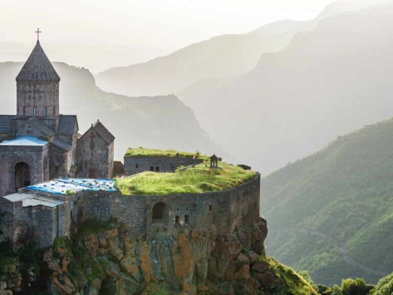
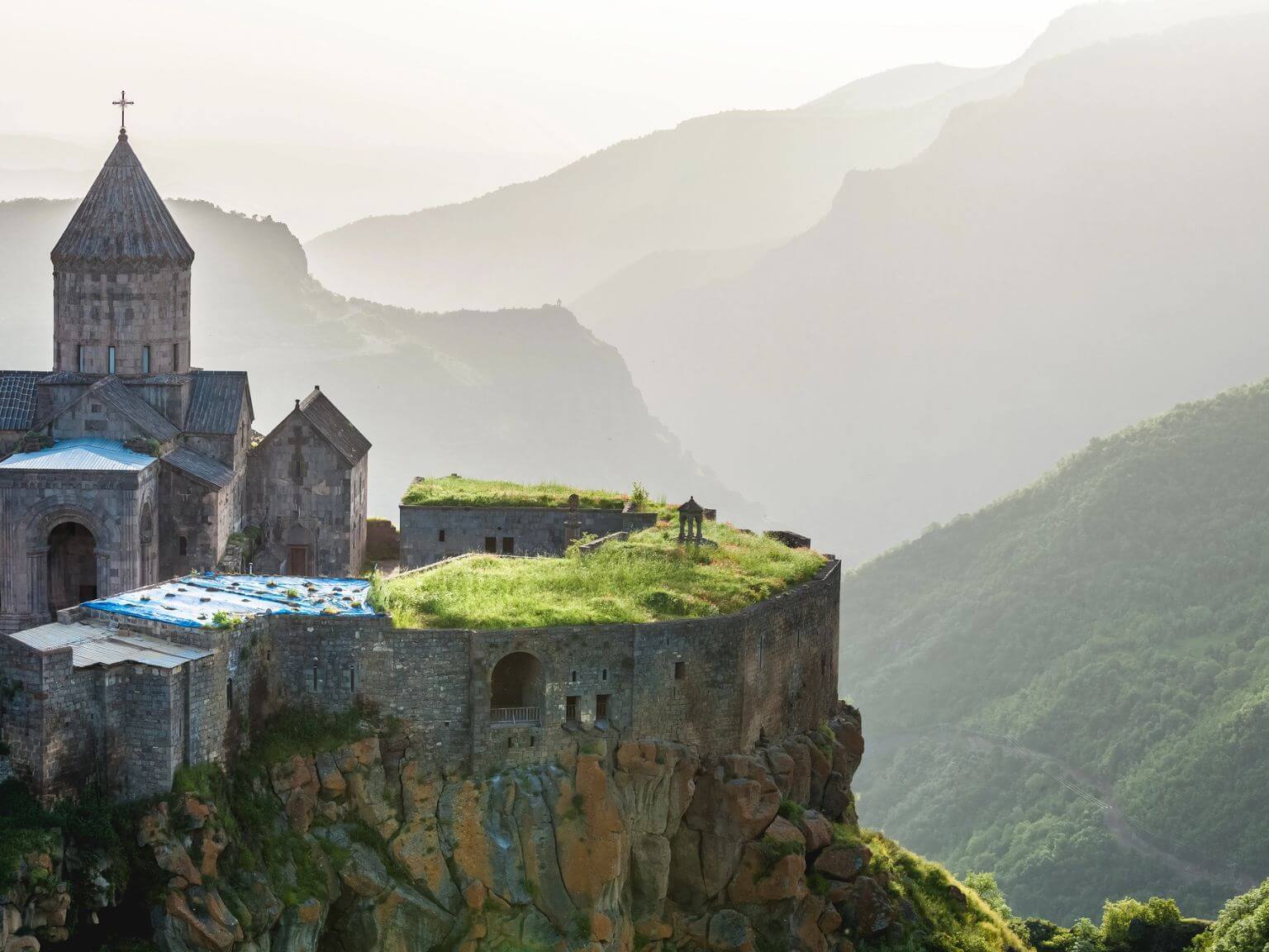
Day 8: South to Syunik. Three hours down the main road into the deep south, with the Vorotan gorge opening below you. Afternoon: the walk from Halidzor across the gorge to the Tatev monastery on the old pilgrim path, three hours down and up past the Devil’s Bridge and the hot springs in the gorge floor, with the cable car above your head the whole way. Ride the cable car back. Night at Tatev or Goris.
Day 9: Khustup or the Goris ridges. Depending on your fitness and the weather, either the long day on Mount Khustup at about 10,270 feet (3,130 m) above Kapan, which is seven to eight hours and the finest single mountain day in southern Armenia, or the shorter ridge walk above Goris through the rock cones and down into the Khndzoresk cave village. Night at Goris.
Day 10: North to Yerevan. Four and a half hours on the main road, with a stop at Noravank in its red gorge and the short scramble up the side of the canyon behind it for the view down onto the church. Afternoon in Yerevan, a hot bath and a proper dinner.
Day 11: Departure. Free morning, late checkout, transfer to Zvartnots whenever your flight leaves.
What is included
Ten nights of accommodation with breakfast, guesthouses in the mountain bases and a good hotel at either end, a private vehicle with driver on all transfer days, a licensed mountain guide on all seven walking days, all packed lunches on the trail, the Tatev cable car, all site entries, a satellite communicator carried by the guide on the Aragats and Khustup days, a day-by-day document with honest ascent figures and timings, and a WhatsApp group with your consultant and our Yerevan partner team.
What we would change, and when
- Want the north summit of Aragats? We add a day and a second night at the Kari Lake station. It is a nine to ten hour day across the crater rim and it needs settled weather and a genuinely fit party.
- Want a linked multi-day section? The Transcaucasian Trail in Syunik supports two- and three-day linked walking with village homestays. We build that instead of the day-walk structure for people who want continuity, and we are honest that the waymarking is younger than in Europe.
- Travelling in May or October? Aragats is out, and so is Khustup after the first snow. We replace them with lower Vayots Dzor and Tavush walking and the trip is still good, it is just not a high-mountain trip.
- Prefer culture with the walking? Cut two walking days and add Gyumri and the Debed canyon monasteries in the north.
Honest notes
The season is short and it is set by snow, not by the calendar. The Kari Lake road on Aragats is usually open from around early July to late September, and the date moves every year. We will not sell a fixed Aragats itinerary in June without a written alternative attached.
Weather on Aragats turns quickly and the summit is often in cloud by noon. We start these days before dawn, which is the one place on any Armenian route where an early start earns something.
The trail network is real and it is young. Waymarking on Transcaucasian Trail sections is good, and off them it is a network of shepherd paths and vehicle tracks with no signs at all. That is why every walking day here has a guide on it and why we do not sell self-guided walking in Armenia yet.
Accommodation on this route is simple. In the mountain bases you get a clean twin room, sometimes a shared bathroom, hot water that depends on the boiler, and excellent home cooking. That is the region rather than something we can improve by charging you more.
Shepherd dogs in the high pastures are working flock guardians and are not pets. Your guide will know how to handle them. Do not walk towards a flock on your own.
The land border with Azerbaijan is closed. This route stays well clear of the eastern frontier districts and we follow official advisories on them as a matter of routine.
Built by your named Armenia specialist, checked against notes our founder made in the field.