What Armenia does have is a set of genuinely good day walks and a small number of two and three day routes, in a country where you can walk in a forest in the morning and be in a fourteenth-century monastery by lunch. It also has almost nobody on the trails. On the Dilijan sections in June you can walk for four hours and meet two people.
Here is what actually walks well, how hard each one is, and when.
The comparison
| Route | Length | Difficulty | Altitude | Season |
|---|---|---|---|---|
| Dilijan forest circuits | 2 to 6 hours | Easy to moderate | 3,600 to 6,600 ft (1,100 to 2,000 m) | May to October |
| Transcaucasian Trail, Dilijan section | 2 to 3 days | Moderate | 4,300 to 7,200 ft (1,300 to 2,200 m) | June to October |
| Mount Aragats, southern summit | 5 to 7 hours return | Moderate to hard | 10,800 to 12,700 ft (3,290 to 3,880 m) | Roughly July to September |
| Amberd and the southern slopes | 2 to 4 hours | Easy to moderate | 6,600 to 8,200 ft (2,000 to 2,500 m) | May to October |
| Tatev gorge and the Devil’s Bridge | 4 to 6 hours | Moderate, steep both ways | 2,600 to 5,200 ft (800 to 1,600 m) | April to November |
| Khndzoresk cave village | 2 hours | Easy, with steps and a footbridge | About 4,600 ft (1,400 m) | March to November |
| Vayots Dzor, Noravank rim and Smbataberd | 3 to 5 hours | Moderate | 4,600 to 6,600 ft (1,400 to 2,000 m) | April to November |
| Lake Sevan shore and Noratus | 1 to 3 hours | Easy | About 6,200 ft (1,900 m) | May to October |
Nothing in Armenia is high enough to cause altitude problems on a normal itinerary. Aragats is the exception and it is a day, not a night, so acclimatisation is not the issue that it is in Nepal or Bhutan. Trekking in Asia compared puts the region next to the serious altitude countries.
Dilijan and Tavush, the best walking region
The forested north is cooler, greener and wetter than the rest of the country, and it is where the walking infrastructure actually exists.
The day circuits. From Dilijan town, the paths to Haghartsin and to Goshavank run through beech and hornbeam forest, take three to five hours, and end at a twelfth or thirteenth-century monastery, which is the correct way to arrive at one. The Parz Lake circuits are shorter and work with children. The Jukhtak Vank and Matosavank paths are two to three hours and almost nobody uses them.
The Transcaucasian Trail. Sections of a long-distance route are built and waymarked here, and the Dilijan section is the best-maintained walking in Armenia. Two to three days, sleeping in village guesthouses rather than camping, with your bag moved by vehicle. This is the closest thing Armenia has to a village-to-village trek.
Season and difficulty. May to October, best in June and September. Long gradual ascents on forest paths, no exposure and no altitude issue, so fitness is the only requirement. Afternoon storms roll in fast in summer.
Where you sleep. Guesthouses in Dilijan and the surrounding villages, with private rooms and hot water. Dilijan also has the best provincial hotels in Armenia.
Mount Aragats
The highest mountain in Armenia at 13,420 feet (4,090 m), a four-peaked volcanic massif with a crater in the middle, and the only walk in the country that feels like mountaineering-adjacent hillwalking.
The road decides everything. A road runs up to Kari Lake at about 10,800 feet (3,290 m), and it is open only in high summer, roughly July to September. It is the last stretch that decides, and we check the current status before we plan around it. Outside that window Aragats is not available to a normal itinerary.
The southern summit, at about 12,730 feet (3,880 m), is the accessible one: five to seven hours return from Kari Lake, on scree and grass with no technical difficulty and no marked path in places. The northern summit is the true high point and is a serious undertaking with route-finding and loose ground, and we do not build it without a mountain guide.
Altitude. You start at about 10,800 feet (3,290 m) and finish near 12,700 feet (3,880 m). That is high enough to feel if you have come straight from Yerevan at about 3,200 feet (990 m), so we put two or three days of the trip before it.
Weather. Cloud builds on Aragats by late morning in summer and the massif makes its own weather. Start early, which is the other exception to Armenia’s late-morning rule.
Amberd fortress on the southern slope is a seventh-century castle in a fine position and the walks around it are a good half day from Yerevan when the summit road is shut.
The south: Tatev, Khndzoresk and the Vorotan gorge
Syunik is the most dramatic landscape in Armenia and the walking there is underused, mostly because everyone rides the cable car both ways and leaves.
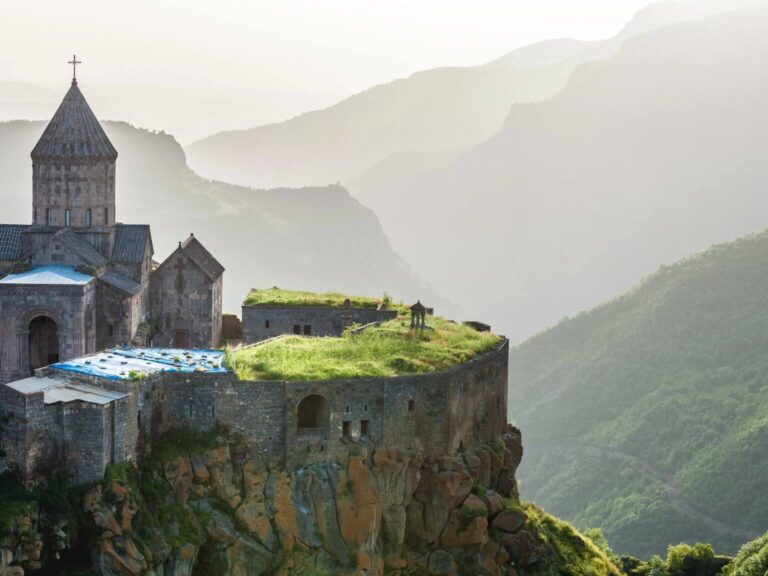
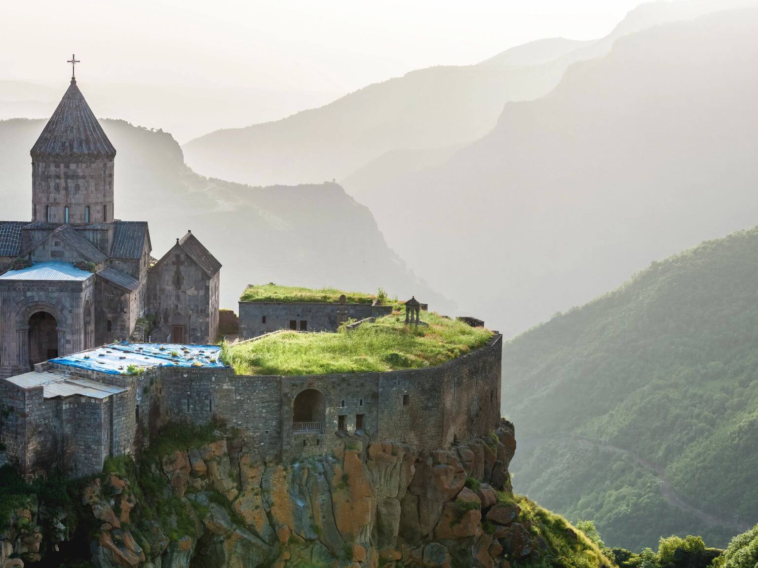
The Tatev gorge. The Wings of Tatev cable car runs about 3.5 miles (5.7 km) across the Vorotan gorge to a ninth-century monastery on a promontory. The better version of the day is to ride out and walk back: a steep path drops from the monastery into the gorge, past the Devil’s Bridge, a natural travertine arch over the river with hot mineral springs beside it, and climbs the far side to Halidzor. Four to six hours, steep both ways, hot in July and August.
Khndzoresk. The abandoned cave village below Goris, reached by a swinging footbridge across the ravine. Two hours of easy walking with steps, and the best single hour in the south.
Season. April to November, and morning walks only in July and August, when the southern sun is harder than the temperature suggests. Winter snow makes the southern drive itself long and sometimes impossible.
Vayots Dzor and Lake Sevan
Smbataberd, a ridge fortress above Yeghegis, is a steep hour up from the valley with a long view along the ridge, and the Tsakhats Kar monastery is a further hour on. Three to five hours as a loop.
The Noravank rim. Above the red gorge that holds the monastery, a path climbs to the plateau and the perspective back down is completely different from the one everybody photographs from the car park. Two to three hours.
The Vardenyats pass, about 7,900 feet (2,410 m), with its fourteenth-century caravanserai at the top, has short meadow walks either side in summer. It closes in snow, usually from around November to April.
Sevan is not a hiking destination and is worth an easy half day on foot. The shore walk at Noratus, through the largest surviving field of khachkars in the world, is flat, an hour, and one of the most affecting places in Armenia precisely because there is no ticket office and no crowd. The Gegham mountains east of the lake are genuinely wild walking country with volcanic lakes and petroglyph sites, and they are guided-only territory with vehicle support.
Practical notes
- Fitness. Four to six hours on hills, on consecutive days. Nothing here needs technical skill.
- Guides. We put a local walking guide on Aragats always, on the Transcaucasian Trail sections and the Tatev gorge descent usually, and on the Dilijan day circuits only if you want the botany and the history. Waymarking outside the Dilijan sections is inconsistent and a guide is worth it for route-finding alone.
- Sun and water. The country is high and dry and the sun is harder than the thermometer suggests, particularly in Syunik. Carry more water than feels necessary.
- Weather. Afternoon storms are normal in summer in the north and on Aragats. Waterproofs and a warm layer in the day pack in any month.
- Dogs. Shepherd dogs on the summer pastures are working animals, not pets. Do not approach them and do not walk between a dog and its flock.
- Cash. Village guesthouses on the walking routes do not take cards. Carry dram.
- How we run it. GO EAST has dedicated local offices in Vietnam and India, our team in Japan, and local representatives in the Philippines. Armenia runs through a Yerevan partner we have worked with for years, and the walking guides and mountain drivers are theirs, briefed by us.
Building a walking trip
Eleven days is the right length for a trip where walking is the point rather than an add-on: Dilijan for three or four days including a Transcaucasian Trail section, Aragats as a day from a night at Byurakan or Ashtarak, Vayots Dzor for Smbataberd and the cellars, and Syunik for the Tatev gorge and Khndzoresk. Our eleven-day walking route is exactly that.
On a standard eight-day trip, two walking days is the right ration and it does something structural as well as pleasant: it breaks up the monasteries, which is the single most important thing in Armenian itinerary design. How many days you need in Armenia sets out the shapes.
Plan this trip
Tell us your dates and the places you want to see, and we build your trip as a $39 day-by-day plan, with recommended hotels by level and every transfer set out step by step.
Keep reading
- Armenia: the complete guide to planning your trip
- Armenia month by month
- Trekking in Asia compared
- What we would skip in Armenia
- Walking Armenia, 11 days
- All our Armenia trips